
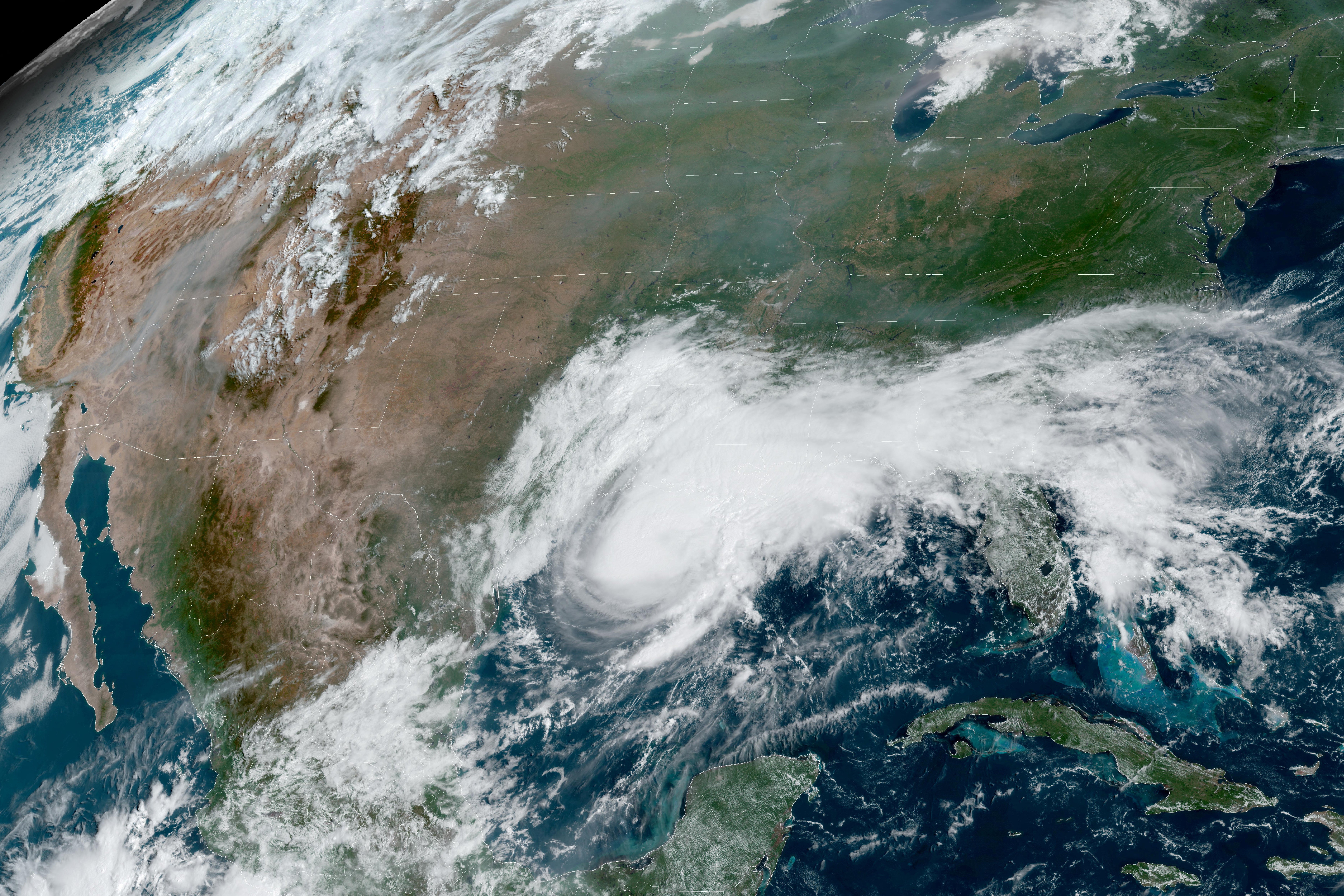
The storm is currently tracking east-northeast at 8 mph, with a projected turn toward the north by Friday. Forecasters warn of a life-threatening storm surge, with water levels potentially rising 5 to 7 feet between Ocean Springs, Mississippi, and Indian Pass, Florida. Mobile Bay, Alabama, faces similar flooding risks, while lower surges of 1 to 3 feet are expected as far west as Lake Pontchartrain.
Authorities have activated a hurricane watch for the region spanning from Bay St. Louis, Mississippi, to Indian Pass, Florida, where hurricane-force winds could arrive by late Friday. Additional tropical storm watches are in effect from the Jefferson/Plaquemines Parish line in Louisiana to the Aucilla River in Florida. Beyond the wind and surge threats, the system is expected to dump 3 to 6 inches of rainfall, with localized totals potentially reaching 10 inches.
Comments (0)
No comments yet. Be the first!